• +989134308997
  • info@KoroushMine.com
Logo
  • Home
  • SERVICES
    • Exploration
    • Extraction
    • Processing
    • Business
    • Environment
  • Projects
  • GALLERY
  • CERTIFICATES
  • CONTACT US
  • ABOUT US
    • about company
    • About the Founder

Download high quality satellite images with Terra Incognita software

  • Blog
  • Mineral software
Download high quality satellite images with Terra Incognita software
  • Thursday, 23 December 2021
  • Zaryab Negara Cyrus

Download high quality satellite images with Terra Incognita software

Terra Incognita software is a simple, easy and at the same time very useful and practical program that has a high spatial resolution and can be downloaded as a reference land for all types of maps such as Google Maps, Bing, Open street map, etc. , he does.

The output steps of this software are given below.

1. Double-click TerraIncognita.exe to get started.

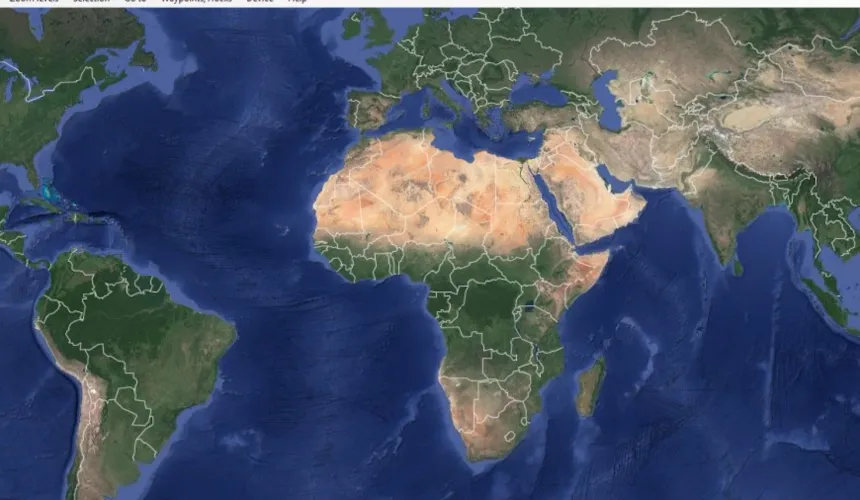
2.Select the desired map from the main menu of Map source software.

3. Call up the range you already saved in .KMZ format:

File/ Load waypoints, tracks, routes
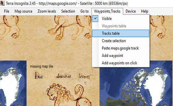
4. Confirm range::

Waypoints, Tracks/ Tracks table

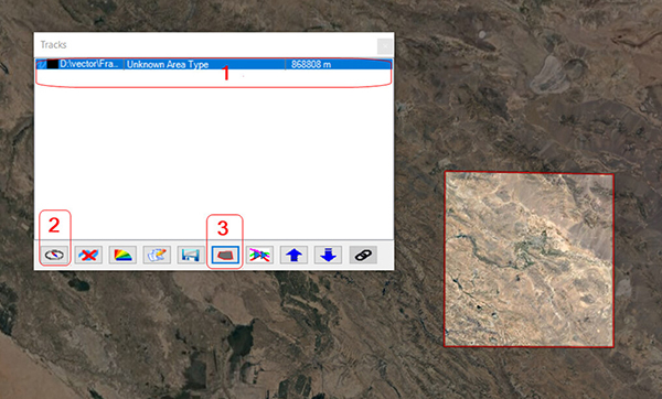
From the Tracks window, first select the desired framework and then at the bottom of this window, click on the number 3, which is specified in the figure below..

5. Select the desired zoom:

6. Download and save the desired range with the selected zoom :

 Choose one of the formats / File / Save map

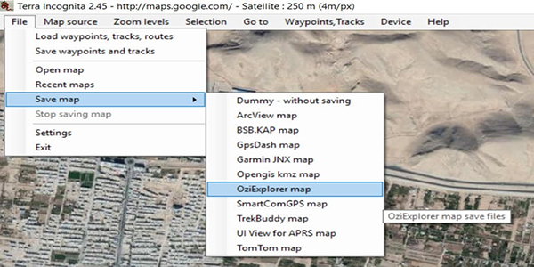
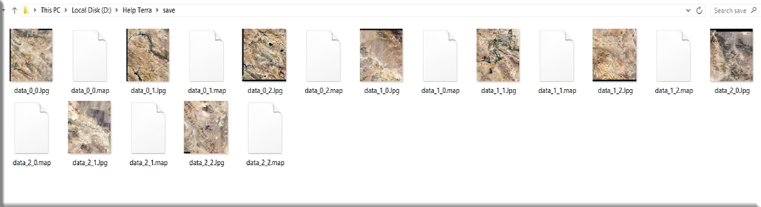
Images are downloaded into smaller areas by automatically splitting the entire area according to the range and zoom..

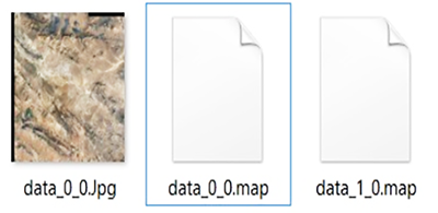
Wait for the entire range to be downloaded and saved.

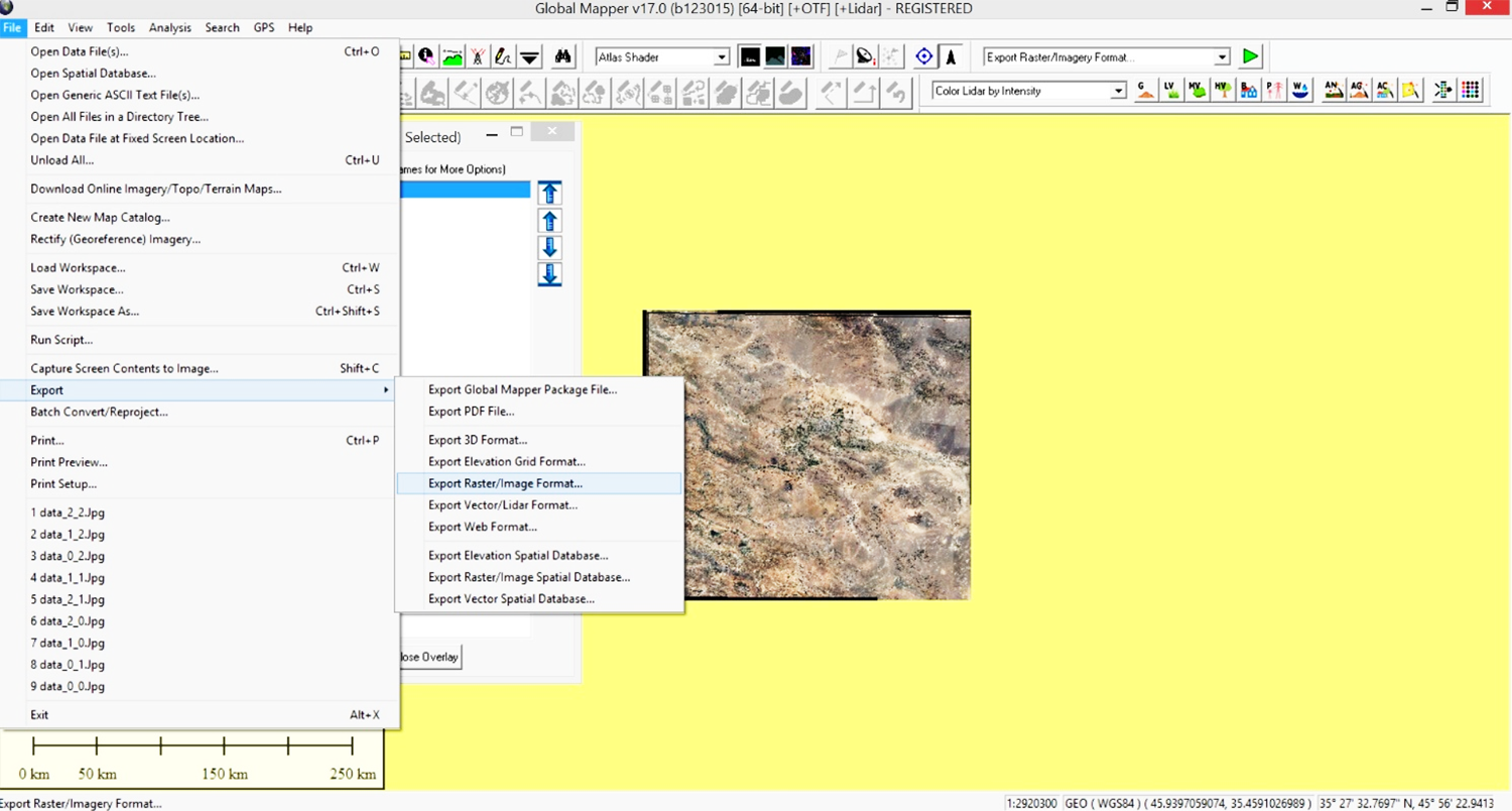
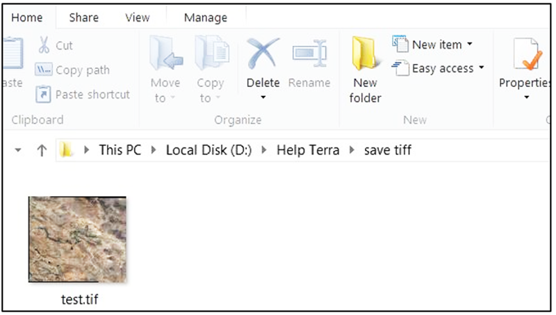
7. In order to integrate the images, you can call all the images in the Global mapper software and get the geotiff output there..

Click Download to download Terra Incognita software Download software

Mining exploration Software image output satellite images Download satellite images Mining

Leave A Comment

Category

  • Business
  • Mineral software
  • Mineral Blogs

Popular Tags

  • golden investments
  • GIS
  • Exploration
  • golden investments
  • Mining
  • Download satellite images
  • satellite images
  • Software image output
  • Mining exploration
  • Cyrus

Design, supervision and implementation of mining projects as a complete chain from production to consumption, including exploration, extraction, processing, environment and mineral trade is the specialty of Zar Yab Negareh Cyrus Company.

Information

  • Contact Us
  • About Us

Contact Us

Isfahan - Chaharbagh Bala St. - Corner of Pasargad Alley (21) - & nbsp; No. 372 - Toranj Complex - First Floor - Unit 1

  • +983136660917
  • +989134308997
  • office@koroushmine.com

Developed by Raysaz IT

Shape