Mineralization
IronYear
2012Location
Fars provinceCrushed iron mine
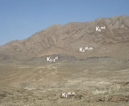
Khorrambid iron mine area with an area of 7 square kilometers is located in Fars province, Khorrambid city. This area is part of Bargon topographic map with a scale of 1: 25000 and Dehbid geology with a scale of 1: 100000. Khorrambid deposit is located in the northeastern part of the Zagros orogenic zone and includes various rock units from the Zagros and Sanandaj zones. These units are mostly misplaced and are facies different from their adjacent units. In this area, hematite and magnetite iron mineralization was seen in the form of veins and layers. In some parts, pyrolocyte mineralization is observed along with hematite. Due to the reactions of the supergene environment, mineralization at the surface is highly hydroxide in parts and is the predominant mineral of goethite. The host rock is the mineralization of Sparta lime. The average grade of Fe2O3 was 44% and the maximum was 7% of manganese oxide. The definitive reserve explored in this project is estimated at about 1/100/000 tons and the probable reserve at 2.300/000 tons.
List of exploration services performed:
- Collection of information and data including maps and aerial images and satellite data
- Preparation of geological map of the area at a scale of 1: 20000
Design and implementation of geochemical exploration by lithogeochemical method
Design and implementation of geophysical exploration by magnetometric method (2500 points)
- Preparing a 1: 1000 geological map of the sections with reserves with a total area of 220 hectares
- Preparation of topographic map 1: 1000 of the sections with storage with a total area of 220 hectares
- Equipping and constructing a temporary workshop
- Repair and construction of access to a length of more than 5 km
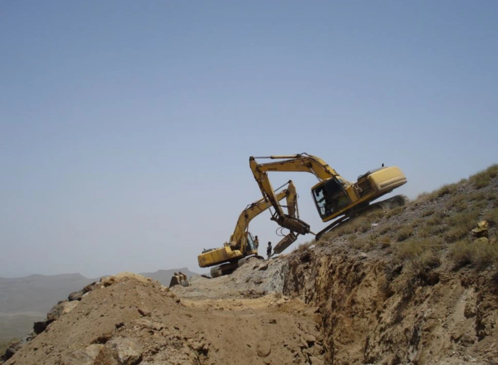
- Design and implementation of trenches and exploration works
- Design and execution of core and powder drilling (total 3700 meters)
Sampling and study for mineralogy and petrography of 170 samples
Chemical analysis of 150 samples


